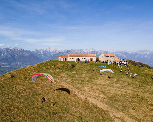
Lentiai, Belluno Valley, BL
28 or 29 September 2024 start h:10.00 from ronchena
-
HIKE 1 : from Ronchena (242 m), climb northwards, free path or asphalt road to the ridge of Monte Garda. On a dirt road you pass Monte Arten, Col Moscher and with a series of ups and downs you reach Col dei Piatti (1256 m).
FLY : take off from Col dei Piatti (1256 m) landing point at the Ronchena playground. - HIKE 2 : from the Ronchena playground with a short walk of about 400 m., until arriving in the square in front of the Locanda Monte Garda restaurant.
Difference in altitude + : 1014 m.
Hike route : 10 km (7 km on asphalt and 3 km on dirt road)
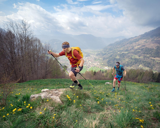
Tais, Tonadic, TN
November 2 or 3, 2024, start h:10.00 from tonadico
-
HIKE 1 : starting from Tonadico, after crossing the town you go up on the asphalt road for 500m, continue on the mule track on the right, 30m on the path on the left that leads to 300m of steep asphalt, followed by a path on the left. Between the woods and the meadow you cross the road that goes up to Tais, between asphalt, dirt road and then path up to Maso Tais.
FLY : take off from Maso Tais, free flight to Tonadico, landing defined on the day of the race. - HIKE 2 : from the landing, take the path on an embankment that crosses the meadows towards the north-east, following the road of the “campagna alta” up to Siror, go up until you take the steep asphalt road of the “ roncheti ”, then follow the path alongside some streams, then a farmhouse, in the meadows, up to the Maso Tais.
Difference in altitude + : 916 m.
Hike route : 7 km
Average gradient : 14%
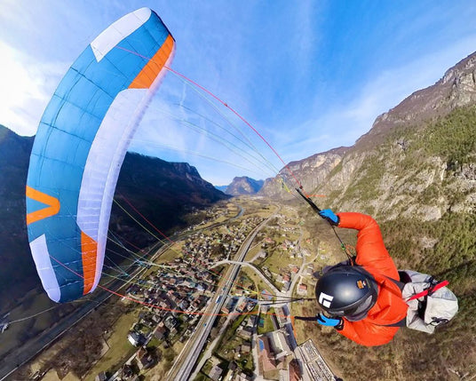
Tezze, Grigno, Tennessee
November 9 or 10, 2024, start at 10:00 in Tezze di Grigno
- HIKE 1 : departure from Tezze towards Casera la Fratta, passing through Borgetto and then Mesole. Through the forest road you reach Casera Marin at an altitude of 1283 m.
FLY : take-off from Casera Marin, clear route, target at Ponte di Brenta, Tezze. - HIKE/RUN 2 : Fold and put in the sailing backpack and run to the finish line in Pra Minati Pro Loco Tezze.
Hike Route 1 6.44 km
Difference in altitude + : 1,074 m.
Average gradient : 16.6%
Hike Route 2 0.65 km
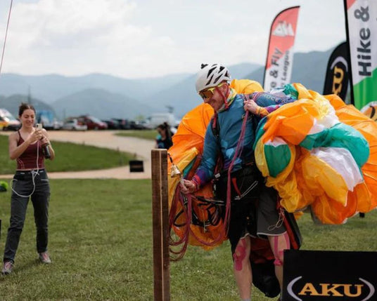
Mount Avena, Pedavena, BL
November 16 or 17, 2024, start h10.00 from the paradeltaclub feltre headquarters (Boscherai)
- HIKE : Departure from the headquarters of the Paradeltaclub Feltre (Boscherai), towards the hamlet of Facen, passing through the cemetery of Pedavena. Crossing woods and meadows until arriving on Monte Avena.
FLY : take-off from Monte Avena, free flight until landing in Boscherai.
Hike route 7.27 km.
Difference in altitude + : 1060 m.
Average gradient : 15.8%


